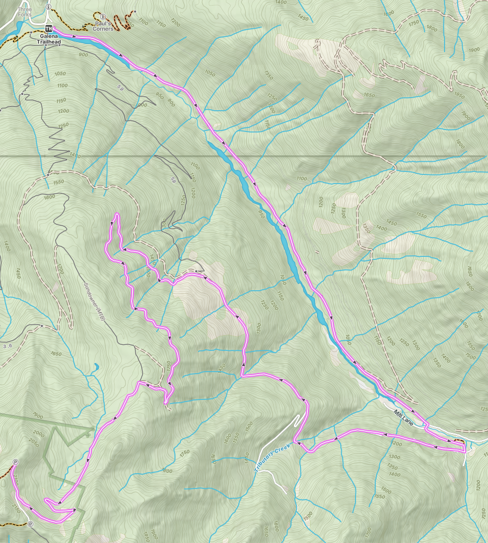
West Kootenay: New Denver -> Sandon -> Idaho Peak
Overview This is a planned track that has not yet been completed. Ascent1,289 m Descent9 m Max Elevation2,098 m Min Elevation810 m Route This route travels a total distance of 16.8 km. ...
Overview This is a planned track that has not yet been completed. Ascent1,289 m Descent9 m Max Elevation2,098 m Min Elevation810 m Route This route travels a total distance of 16.8 km. ...
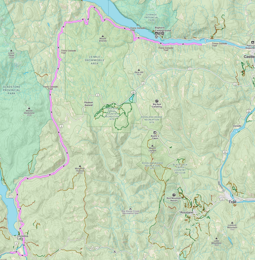
⚠️ Vehicle Access Restricted The 2km stretch prior to Castlegar is private property and is gated. Vehicles are not able to pass through. This reportedly (not confirmed) does not affect dirt bikes or motor bikes as the gate has bike access, however especially wide motorcycles may have issues clearing the gate opening. Alternate Routes Shields Creek Forest Service Road Bull Dog Forest Service Road ⚠️ No Motorized Access at Grand Forks There is no motorized access allowed at Grand Forks. Billings is the closest to Grand Forks that you may enter or leave the Columbia Western Rail trail if you are coming from Castlegar or Christina Lake Overview This is a planned track that has not yet been completed. ...